|
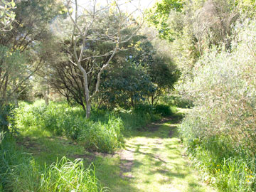
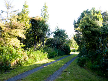
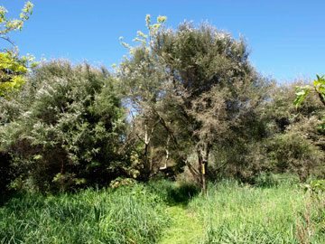
An inheritance from the Bismarck Archipelago. One of the words that has come down to us from this era is kahika, from Proto Oceanic *kapika, Proto Central Pacific *Kavika and Proto Polynesian *kafika. Reflexes of this word refer to Syzygium species, especially S. malaccense, the "Malay apple" in languages throughout Oceania, apart from those spoken in Micronesia. In our walk it is represented by the kahikaatoa -- the warrior kahika. There are several other New Zealand trees that share this word in or as their names. You can read more about both the history of the word and the plants it has been used to name in these linked pages: *Kafika (Proto-Polynesian form) Kahika (Modern Mäori) (Both pages have links to other names incorporating the root word kahika.) Somewhat strangely, considering the strong associations between this name and a species of Syzygium in most other Polynesian languages, none of its Maori reflexes refers to our own native Syzygium, which instead was given another heritage name, maire, which comes from a later stage of the development of the language (Proto Polynesian). The "official' kahikaatoa pictured at the top of this column (with the bamboo name cylinder below it just visible, to the right of the pathway) is, you will soon notice if you haven't already done so, one of a great many growing here. However the ones in the picture happen to be conveniently placed to represent the third, ProtoOceanic stage of our journey. Finding your way to Stage 4 - Proto Eastern Oceanic Have a look first at the information in the right-hand column, and then you will be ready to move on to Stage 4. The long way (which we recommend) starts with a left turn (pictured below) at the driveway at the end of the path you've been following to get to the Stage 3 kahikaatoa. Just proceed along it to the main driveway (about 17 metres away).
|
|
|
At the main driveway, turn right -- the representative of Stage 4 is just around the corner of the driveway going off to the left (where the patch of sunlight falls across the roadway), about 25 metres away.
|
To go on to the Stage 4 Time Travel Page
click here..
"Time travel walk" - Stage 3
Proto Oceanic (about 3,500 years ago)
From the archaeological evidence, it seems that around 1600 BC significant numbers of Austronesian people began settling in the Bismarck Archipelago, so by the time you reached the designated site, around 45 metres from "Proto Malayo-Polynesia", you have walked through another 1,500 years of Austronesian linguistic history. You have also reached the beginnings of the "Lapita culture", the establishment of a distinctive pottery-making tradition, with the oldest examples showing similarities to the kinds of pottery that were being developed in the Philippines at the time, that spread from here and, over the course of the next few centuries of exploration and discovery, was taken also to Tonga and Samoa. In Polynesia, however, the relatively fragile earthenware pottery was eventually abandoned for more sturdy wooden vessels.
The principal islands of the archipelago -- Manus, New Britain and New Ireland -- are shown on the map below. All of them had long been settled (there had been people living there for at least 30,000 years before the arrival of the Austronesians), and the Austronesian settlements seem to have had extensive economic, cultural and social contacts with their new neighbours as well as with communities further afield. However, they continued to retain their own linguistic heritage. The Bismarck Archipelago area became the cradle from which what was to become the Oceanic branch of the Austronesian language family emerged.
Within a hundred years some of these Austronesian-speaking people had settled in parts of the Solomon Islands, which also already had long-established indigenous communities. It would not be long, in comparison with other movements of peoples, before some of these people ventured further, and as they moved further south and east, their language moved and changed with them. This will bring us to the next stage, with the shorthand label "Proto Eastern Oceanic".

Map showing New Guinea, the Bismarck Archipalego [geographic centre of the development of Proto Oceanic] and the Solomon Islands.
|
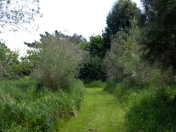
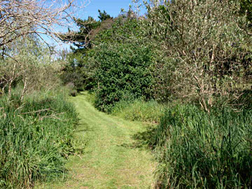
Finding your way to Stage 4 - Proto Eastern Oceanic Like the Austronesians, some of whom later became the Polynesians, you have a choice here -- you can take the recommended (and slightly longer) route by following the directions in the left hand column, or simply continue along the path past the "official" kahikaatoa, and turn at the wider branch driveway, towards the pine tree visible in the distance (see the next two photographs), and continue on down the hill. It's about 110 metres from where you started to where you should end up. If you want to take this alternative route, first have look at the information in the opposite column, then click the appropriate link after the photographs below for further directions.
|
|
|
To go on to the Stage 4-via-4A Time Travel Page
click here.
To go back to Stage 2,
click here..
|
|
Te Mära Reo, c/o Benton Family Trust, "Tumanako", RD 1, Taupiri, Waikato 3791, Aotearoa / New Zealand  This work is licensed under a Creative Commons Attribution-Noncommercial 3.0 New Zealand License. This work is licensed under a Creative Commons Attribution-Noncommercial 3.0 New Zealand License. |
